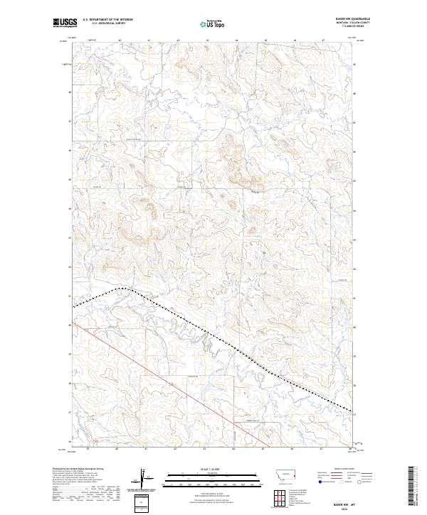
2024 Map of Baker NW
USGS Topo · Published 2024About this map
Pennel Creek and its winding tributaries dominate this landscape of the Fallon County plains, illustrating a drainage system defined by intermittent watercourses like Sandstone Creek and the South Fork Sandstone Creek. The infrastructure is characterized by a sparse but regular network of rural routes, including Burnt Station Rd and Pennel Rd, which reflect the vast ranching and agricultural divisions of eastern Montana. These roads often trace the section lines established by the Public Land Survey System, as seen in the clear township boundaries such as t8n r58e. In the southern portion of the quadrangle, Timber Creek Rd parallels Timber Creek, showing how modern movement still follows the natural contours of the drainage basins. This 2024 map provides a detailed look at the contemporary geography of a region where historic trails and station names, like Tonquin Trl, persist in the modern road names.
Find a feature on this map
16 named features on this map. Tap any name to fly to it.
Don’t see what you’re looking for? This feature index may not catch every label — zoom into the map to look around manually.
Map Details
Editions of this 2024 Baker NW Map
This is the sole edition of this map. No revisions or reprints were ever made.
Other maps of this area

1953 · Miles City
USGS Topo · 1:250,000

1957 · Miles City
USGS Topo · 1:250,000

1958 · Miles City
USGS Topo · 1:250,000

1981 · Baker
USGS Topo · 1:100,000

1981 · Baker NE
USGS Topo · 1:24,000

1981 · Baker
USGS Topo · 1:24,000

1981 · South Sandstone Reservoir
USGS Topo · 1:24,000

1981 · Lawrence Creek East
USGS Topo · 1:24,000

1981 · Lawrence Creek West
USGS Topo · 1:24,000

1981 · Little Pine Creek
USGS Topo · 1:24,000