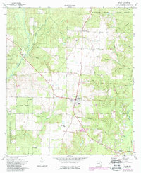
1973 Map of Baker
USGS Topo · Published 1987About this map
Baker serves as the central hub of this northern Okaloosa County landscape, surrounded by the dense timberlands of the Blackwater River State Forest. The map illustrates a region defined by its hydrology, where the Blackwater River and Yellow River carve through the terrain, joined by numerous named tributaries like Gum Springs Branch and Threemite Branch. This era shows a community rooted in timber and small-town infrastructure, evidenced by the presence of several country churches such as Golan Ch and Pyron Spring Chapel. Near the southern edge, the settlement of Milligan sits along the river, while several landing strips and a Substation in Baker indicate the mid-century modernization of the area. Genealogists will find value in the specific locations of family-named landmarks and cemeteries, including Cobb Cem and Griffith Cem, which document the local heritage along the river stretches.
Find a feature on this map
56 named features on this map. Tap any name to fly to it.
Don’t see what you’re looking for? This feature index may not catch every label — zoom into the map to look around manually.
Map Details
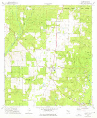
Editions of this 1973 Baker Map
2 editions found
Other maps of this area

1934 · Holt
USGS Topo · 1:48,000

1934 · Harold
USGS Topo · 1:62,500

1937 · Holt
USGS Topo · 1:62,500

1937 · Harold
USGS Topo · 1:62,500

1938 · Harold
USGS Topo · 1:62,500

1948 · Munson
USGS Topo · 1:62,500

1949 · Crestview
USGS Topo · 1:62,500

1950 · Munson
USGS Topo · 1:62,500

1951 · Crestview
USGS Topo · 1:62,500

1956 · Holt
USGS Topo · 1:62,500