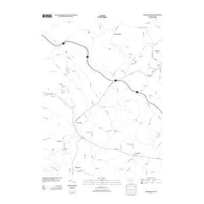
2013 Map of Bakersville
USGS Topo · Published 2013About this map
Bakersville and the surrounding Milford Township highlands are defined by the convergence of major mountain thoroughfares and recreational retreats. The local topography is anchored by Bald Knob and the Laurel Hill Tunnel, a notable engineering feature on the Pennsylvania Turnpike. Cultural and community centers like Indiantown, Jimtown, and Lavansville are connected by a network of historic routes, including the prominent Glades Pike.
Find a feature on this map
121 named features on this map. Tap any name to fly to it.
Don’t see what you’re looking for? This feature index may not catch every label — zoom into the map to look around manually.
Map Details
Editions of this 2013 Bakersville Map
This is the sole edition of this map. No revisions or reprints were ever made.
Other maps of this area

1913 · Somerset
USGS Topo · 1:62,500

1915 · Somerset
USGS Topo · 1:62,500

1921 · Meyersdale
USGS Topo · 1:62,500

1922 · Confluence
USGS Topo · 1:62,500

1922 · Donegal
USGS Topo · 1:62,500

1931 · Confluence
USGS Topo · 1:62,500

1933 · Confluence
USGS Topo · 1:62,500

1935 · Donegal
USGS Topo · 1:62,500

1939 · Meyersdale
USGS Topo · 1:62,500

1944 · Somerset
USGS Topo · 1:62,500
Featured Places
- Milford Township, PA
- Donegal Township, PA
- Somerset Township, PA
- Allenvale, Jefferson Township
- Indiantown, Jefferson Township