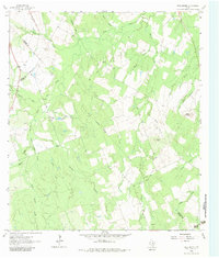
1963 Map of Bald Mound
USGS Topo · Published 1980About this map
The convergence of Gonzales, Wilson, and Karnes counties defines this rural Texas landscape in the early 1960s. The terrain is characterized by prominent elevations such as Bald Mound and Rocky Mound, which rise above a dense network of seasonal waterways. Water management and drainage are central to the area's geography, with Elm Creek and Mound Creek carving through the countryside alongside numerous smaller tributaries like Wickey Branch and Board Branch.
Find a feature on this map
24 named features on this map. Tap any name to fly to it.
Don’t see what you’re looking for? This feature index may not catch every label — zoom into the map to look around manually.
Map Details
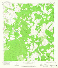
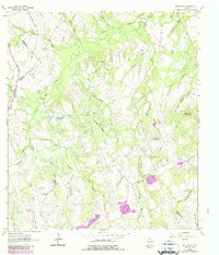
Editions of this 1963 Bald Mound Map
3 editions found
Other maps of this area

1920 · Smiley
USGS Topo · 1:125,000

1942 · Dewville
USGS Topo · 1:62,500

1953 · Seguin
USGS Topo · 1:250,000

1956 · Dewville
USGS Topo · 1:62,500

1958 · Seguin
USGS Topo · 1:250,000

1961 · Sample
USGS Topo · 1:24,000

1961 · Nixon
USGS Topo · 1:24,000
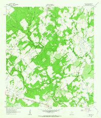
1961 · Pilgrim
USGS Topo · 1:24,000

1961 · New Davy
USGS Topo · 1:24,000

1961 · Gillett
USGS Topo · 1:24,000