
1963 Map of Bald Mountain
USGS Topo · Published 1964About this map
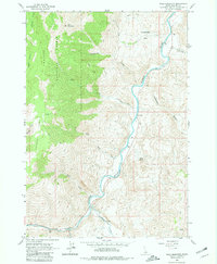
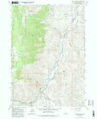
Challis National Forest dominates the western half of this 1963 survey, where high-altitude landmarks like Bald Mountain and Poverty Flat define the upper elevations. The landscape is marked by the deep canyons of the Salmon River, which flows northward through the center of the sheet, joined in the south by the East Fork. This river system creates a natural corridor through the canyonlands, evidenced by a Footbridge and scattered Jeep Trails that negotiate the steep drainage basins of Rattlesnake Creek and Birch Creek.
Find a feature on this map
21 named features on this map. Tap any name to fly to it.
Don’t see what you’re looking for? This feature index may not catch every label — zoom into the map to look around manually.
Map Details
Editions of this 1963 Bald Mountain Map
3 editions found
Other maps of this area

1929 · Bayhorse
USGS Topo · 1:125,000

1957 · Challis
USGS Topo · 1:250,000

1960 · Challis
USGS Topo · 1:250,000

1963 · Challis
USGS Topo · 1:250,000

1963 · Bayhorse Lake
USGS Topo · 1:24,000

1963 · Bayhorse
USGS Topo · 1:24,000

1963 · Clayton
USGS Topo · 1:24,000
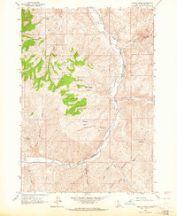
1963 · Ziegler Basin
USGS Topo · 1:24,000
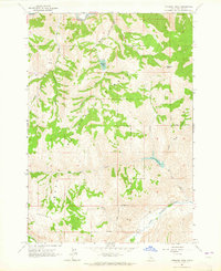
1963 · Potaman Peak
USGS Topo · 1:24,000

1963 · Clayton
USGS Topo · 1:62,500