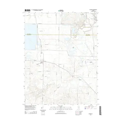
2015 Map of Baldwin
USGS Topo · Published 2015About this map
The boundary between St. Clair Co and Randolph Co bisects this portion of Southern Illinois, where rural agriculture and small-town settlements define the landscape. The village of Baldwin serves as a central hub, connected by Baldwin Rd and Highway 154, which leads east toward the outskirts of Sparta. Genealogical interest is particularly high here, with several family-linked or community burial grounds such as Leinecke Cem, Schmoll Cem, and Jordan Grove Cem scattered across the countryside.
Find a feature on this map
62 named features on this map. Tap any name to fly to it.
Don’t see what you’re looking for? This feature index may not catch every label — zoom into the map to look around manually.
Map Details
Editions of this 2015 Baldwin Map
This is the sole edition of this map. No revisions or reprints were ever made.
Other maps of this area

1910 · Okawville
USGS Topo · 1:62,500

1912 · New Athens
USGS Topo · 1:62,500

1912 · Baldwin
USGS Topo · 1:62,500

1914 · Baldwin
USGS Topo · 1:62,500

1914 · Coulterville
USGS Topo · 1:62,500

1917 · Coulterville
USGS Topo · 1:62,500

1940 · Okawville
USGS Topo · 1:62,500

1942 · Baldwin
USGS Topo · 1:62,500

1954 · New Athens West
USGS Topo · 1:24,000
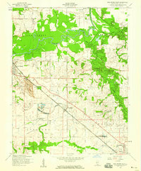
1954 · New Athens East
USGS Topo · 1:24,000