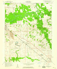
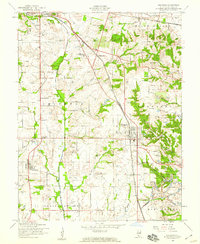
1954 Map of New Athens East
USGS Topo · Published 1959About this map
The Kaskaskia River meanders through the northern half of this mid-century landscape, defining the boundaries of New Athens and Fayetteville. To the south, the industrial influence of the era is evident in the presence of a Strip Mine and clustered oil tanks near Lenzburg. This period represents a transition in rural education and community structure, as several local institutions such as East Dutch Hill Sch and Hickory Grove Sch are already marked as abandoned by the mid-1950s. The dense concentration of family and community burial grounds, including Sturm Cem, Oak Ridge Cem, and Schneider Cem, offers a detailed look at the established genealogy of St. Clair County. The Illinois Central railroad cuts a straight diagonal across the southern prairie, connecting the coal and agriculture hubs of Marissa and Old Marissa to the broader regional economy.
Find a feature on this map
35 named features on this map. Tap any name to fly to it.
Don’t see what you’re looking for? This feature index may not catch every label — zoom into the map to look around manually.
Map Details
Editions of this 1954 New Athens East Map
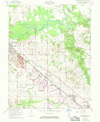
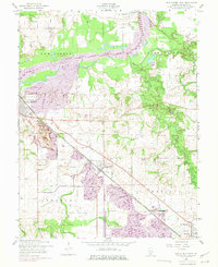
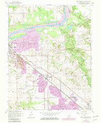
4 editions found
Other maps of this area

1910 · Okawville
USGS Topo · 1:62,500

1912 · New Athens
USGS Topo · 1:62,500

1912 · Baldwin
USGS Topo · 1:62,500

1914 · Baldwin
USGS Topo · 1:62,500

1914 · Coulterville
USGS Topo · 1:62,500

1917 · Coulterville
USGS Topo · 1:62,500

1940 · Okawville
USGS Topo · 1:62,500

1942 · Baldwin
USGS Topo · 1:62,500
1954 · Freeburg
USGS Topo · 1:24,000

1954 · New Athens West
USGS Topo · 1:24,000