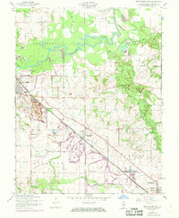
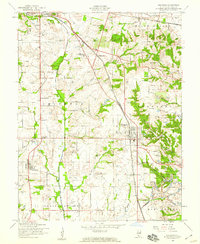
1954 Map of New Athens East
USGS Topo · Published 1969About this map
The Kaskaskia River snakes through the center of this southern Illinois landscape, its tight meanders defining the agricultural and industrial character of the mid-20th century. Extensive Strip Mine operations dominate the terrain south of New Athens, where the ground is transformed by large-scale excavation efforts typical of the region's coal industry during this era. The Illinois Central railroad cuts a diagonal path through the quadrangle, serving as the primary commercial artery for the settlements of Lenzburg and Marissa.
Find a feature on this map
36 named features on this map. Tap any name to fly to it.
Don’t see what you’re looking for? This feature index may not catch every label — zoom into the map to look around manually.
Map Details
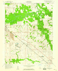
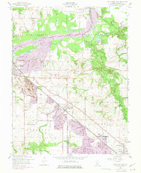
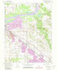
Editions of this 1954 New Athens East Map
4 editions found
Other maps of this area

1910 · Okawville
USGS Topo · 1:62,500

1912 · New Athens
USGS Topo · 1:62,500

1912 · Baldwin
USGS Topo · 1:62,500

1914 · Baldwin
USGS Topo · 1:62,500

1914 · Coulterville
USGS Topo · 1:62,500

1917 · Coulterville
USGS Topo · 1:62,500

1940 · Okawville
USGS Topo · 1:62,500

1942 · Baldwin
USGS Topo · 1:62,500
1954 · Freeburg
USGS Topo · 1:24,000

1954 · New Athens West
USGS Topo · 1:24,000