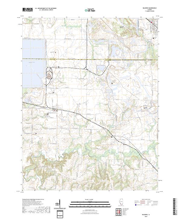
2024 Map of Baldwin
USGS Topo · Published 2024About this map
The agricultural divide between St. Clair Co and Randolph Co anchors this 2024 landscape, where the primary settlements of Baldwin, Marissa, and Sparta define the local geography. Significant water management and drainage are evident through the large Baldwin Lake in the northwest and the winding course of Plum Creek and Doza Creek through the southern farmland.
Find a feature on this map
72 named features on this map. Tap any name to fly to it.
Don’t see what you’re looking for? This feature index may not catch every label — zoom into the map to look around manually.
Map Details
Editions of this 2024 Baldwin Map
This is the sole edition of this map. No revisions or reprints were ever made.
Other maps of this area

1910 · Okawville
USGS Topo · 1:62,500

1912 · New Athens
USGS Topo · 1:62,500

1912 · Baldwin
USGS Topo · 1:62,500

1914 · Baldwin
USGS Topo · 1:62,500

1914 · Coulterville
USGS Topo · 1:62,500

1917 · Coulterville
USGS Topo · 1:62,500

1940 · Okawville
USGS Topo · 1:62,500

1942 · Baldwin
USGS Topo · 1:62,500

1954 · New Athens West
USGS Topo · 1:24,000
1954 · New Athens East
USGS Topo · 1:24,000