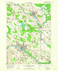
1957 Map of Baldwinsville
USGS Topo · Published 1965About this map
The convergence of the Seneca River, Oneida River, and Oswego River defines this central New York landscape, marking a vital junction for the regional waterway system. The village of Baldwinsville anchors the southwest, where the Erie Canal flows through the heart of town alongside Lock No. 24. To the north, the Oswego Canal follows its namesake river past the industrial and residential corridors of Phoenix and West Phoenix. Much of the central terrain is dedicated to the Three Rivers State Game Management Area, highlighting the balance between mid-century development and the preservation of the surrounding wetlands like Peter Scott Swamp. Local history is preserved in several burial grounds, including Riverside Cemetery and Myrtle Grove Cem, while the Delaware Lackawanna and Western railroad tracks trace the industrial path between Belgium and Lampson.
Find a feature on this map
62 named features on this map. Tap any name to fly to it.
Don’t see what you’re looking for? This feature index may not catch every label — zoom into the map to look around manually.
Map Details
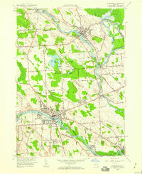
Editions of this 1957 Baldwinsville Map
2 editions found
Other maps of this area

1895 · Syracuse
USGS Topo · 1:62,500

1898 · Syracuse
USGS Topo · 1:62,500

1900 · Baldwinsville
USGS Topo · 1:62,500

1900 · Fulton
USGS Topo · 1:62,500

1905 · Mexico
USGS Topo · 1:62,500

1939 · Syracuse West
USGS Topo · 1:24,000

1940 · Brewerton
USGS Topo · 1:24,000

1943 · Jordan
USGS Topo · 1:31,680

1943 · Lysander
USGS Topo · 1:31,680

1943 · Brewerton
USGS Topo · 1:31,680