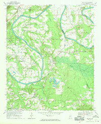
1967 Map of Ballplay
USGS Topo · Published 1970About this map
The Coosa River winds through the heart of this landscape, its tight meanders creating the distinct peninsulas of Pollard Bend and Coats Bend. Along its banks, the river's historical importance as a transit corridor is evident through several named crossings, including Baskin Ferry, Croft Ferry, Adams Ferry, and Wagnon Ferry. These points of connection served the small settlements and rural crossroads that dot the region, such as Ballplay, Murrycross, and Turkeytown.
Find a feature on this map
30 named features on this map. Tap any name to fly to it.
Don’t see what you’re looking for? This feature index may not catch every label — zoom into the map to look around manually.
Map Details
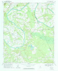
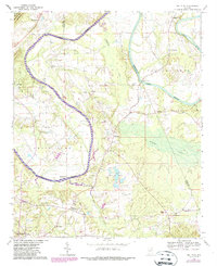
Editions of this 1967 Ballplay Map
3 editions found
Other maps of this area

1893 · Fort Payne
USGS Topo · 1:125,000

1898 · Fort Payne
USGS Topo · 1:125,000

1900 · Fort Payne
USGS Topo · 1:125,000

1900 · Anniston
USGS Topo · 1:125,000

1936 · Roden Gap
USGS Topo · 1:24,000

1947 · Colvin Gap
USGS Topo · 1:24,000

1947 · Glencoe
USGS Topo · 1:24,000

1947 · Jacksonville
USGS Topo · 1:62,500

1953 · Atlanta
USGS Topo · 1:250,000

1955 · Rome
USGS Topo · 1:250,000