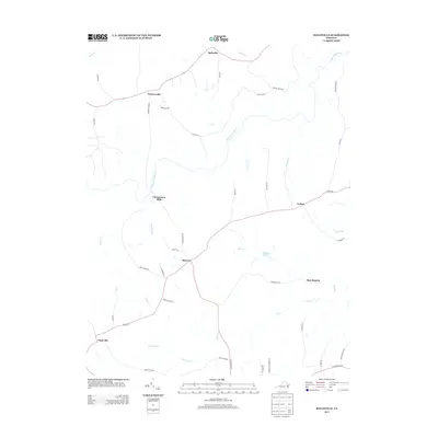
2013 Map of Ballsville
USGS Topo · Published 2013About this map
The Appomattox River winds through this central Virginia landscape, acting as a natural divider between the clustered settlements of Ballsville to the north and Moryen to the south. This area is characterized by a network of rural crossroads and historical landing points, where the local economy was historically tied to the river and the mills that once operated along its banks. Names like Clementown Mills and Tobaccoville reflect the region's agricultural and industrial heritage, particularly its long association with the tobacco trade.
Find a feature on this map
45 named features on this map. Tap any name to fly to it.
Don’t see what you’re looking for? This feature index may not catch every label — zoom into the map to look around manually.
Map Details
Editions of this 2013 Ballsville Map
This is the sole edition of this map. No revisions or reprints were ever made.
Other maps of this area

1890 · Goochland
USGS Topo · 1:125,000

1891 · Palmyra
USGS Topo · 1:125,000

1891 · Farmville
USGS Topo · 1:125,000

1892 · Goochland
USGS Topo · 1:125,000

1893 · Farmville
USGS Topo · 1:125,000

1895 · Palmyra
USGS Topo · 1:125,000

1897 · Amelia
USGS Topo · 1:125,000

1897 · Palmyra
USGS Topo · 1:125,000

1943 · Powhatan
USGS Topo · 1:31,680

1943 · Amelia
USGS Topo · 1:31,680