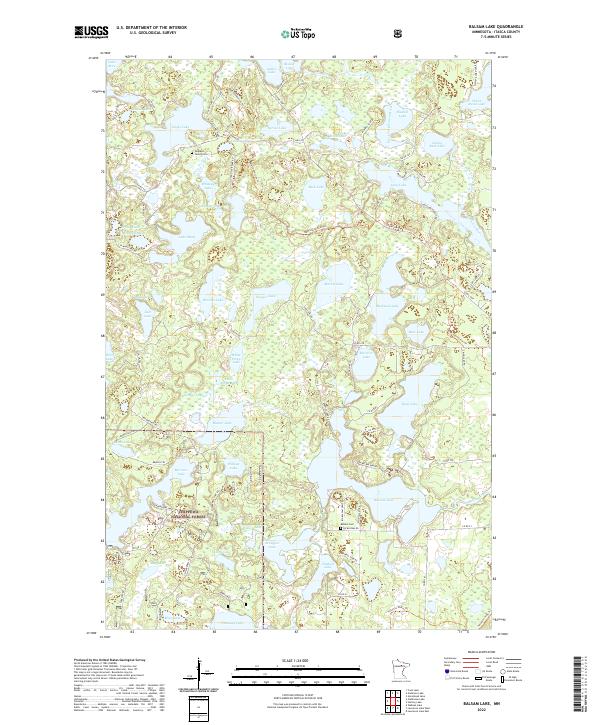
2022 Map of Balsam Lake
USGS Topo · Published 2022About this map
Chippewa National Forest lands dominate this lake-strewn portion of Itasca County, where a dense network of water bodies defines the social and physical geography. The landscape is characterized by its glacial hydrology, from the West Fork Prairie River in the northeast to significant basins like Long Lake and Buck Lake. Small family burial sites such as the Teigland Family Cem and the larger Balsam Cem provide focal points for genealogical interest, situated among a complex grid of forest roads and trails. Historical transportation routes, including the Scenic Hwy and numerous localized tracks like the B&B Connection Trl and Wilderness Trl, suggest a region managed for both timber and recreation. The sheer concentration of named lakes, such as Whiskey Lake, Sawyer Lake, and White Swan Lake, illustrates the area's importance as a Northwoods destination.
Find a feature on this map
96 named features on this map. Tap any name to fly to it.
Don’t see what you’re looking for? This feature index may not catch every label — zoom into the map to look around manually.
Map Details
Editions of this 2022 Balsam Lake Map
This is the sole edition of this map. No revisions or reprints were ever made.
Other maps of this area

1919 · Release
USGS Topo · 1:62,500

1919 · Marcell
USGS Topo · 1:62,500

1920 · Trout Lake
USGS Topo · 1:62,500

1943 · Release
USGS Topo · 1:62,500

1954 · Hibbing
USGS Topo · 1:250,000

1957 · Hibbing
USGS Topo · 1:250,000

1958 · Hibbing
USGS Topo · 1:250,000

1964 · Hibbing
USGS Topo · 1:250,000

1970 · Wabana Lake
USGS Topo · 1:24,000

1970 · Clubhouse Lake
USGS Topo · 1:24,000