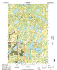
1996 Map of Balsam Lake
USGS Topo · Published 1998About this map
The dense lake country of Itasca County is defined here by the meeting of three major timber and conservation reserves. George Washington State Forest covers the northern reaches, while the southern landscape is shared between the Chippewa National Forest and the Marcell Experimental Forest. This area serves as a critical hydrological and silvicultural study site, evidenced by the specialized divisions of the experimental forest units.
Find a feature on this map
56 named features on this map. Tap any name to fly to it.
Don’t see what you’re looking for? This feature index may not catch every label — zoom into the map to look around manually.
Map Details
Editions of this 1996 Balsam Lake Map
This is the sole edition of this map. No revisions or reprints were ever made.
Other maps of this area

1919 · Release
USGS Topo · 1:62,500

1919 · Marcell
USGS Topo · 1:62,500

1920 · Trout Lake
USGS Topo · 1:62,500

1943 · Release
USGS Topo · 1:62,500

1954 · Hibbing
USGS Topo · 1:250,000

1957 · Hibbing
USGS Topo · 1:250,000

1958 · Hibbing
USGS Topo · 1:250,000

1964 · Hibbing
USGS Topo · 1:250,000

1970 · Wabana Lake
USGS Topo · 1:24,000

1970 · Clubhouse Lake
USGS Topo · 1:24,000