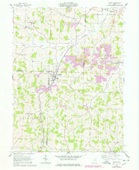
1961 Map of Baltic
USGS Topo · Published 1978About this map
Baltic sits at the intersection of Holmes, Tuscarawas, and Coshocton counties, serving as a focal point for this agrarian and industrial landscape during the early 1960s. The region is defined by a mix of traditional small-town settlement and active resource extraction, evidenced by the numerous Strip Mine operations and Claypit Kilns scattered throughout the valleys. The rail infrastructure of the New York Chicago and St Louis railroad winds through the terrain, connecting the town with the broader industrial network of Ohio.
Find a feature on this map
44 named features on this map. Tap any name to fly to it.
Don’t see what you’re looking for? This feature index may not catch every label — zoom into the map to look around manually.
Map Details
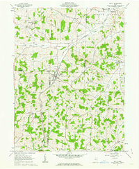
Editions of this 1961 Baltic Map
2 editions found
Other maps of this area

1911 · Newcomerstown
USGS Topo · 1:62,500

1913 · Newcomerstown
USGS Topo · 1:62,500

1913 · Coshocton
USGS Topo · 1:62,500

1914 · Navarre
USGS Topo · 1:62,500

1915 · Millersburg
USGS Topo · 1:62,500

1915 · Coshocton
USGS Topo · 1:62,500

1943 · Millersburg
USGS Topo · 1:62,500

1943 · Coshocton
USGS Topo · 1:62,500

1943 · Newcomerstown
USGS Topo · 1:62,500

1944 · Navarre
USGS Topo · 1:62,500