2023 Map of Baltimore
USGS Topo · Published 2023About this map
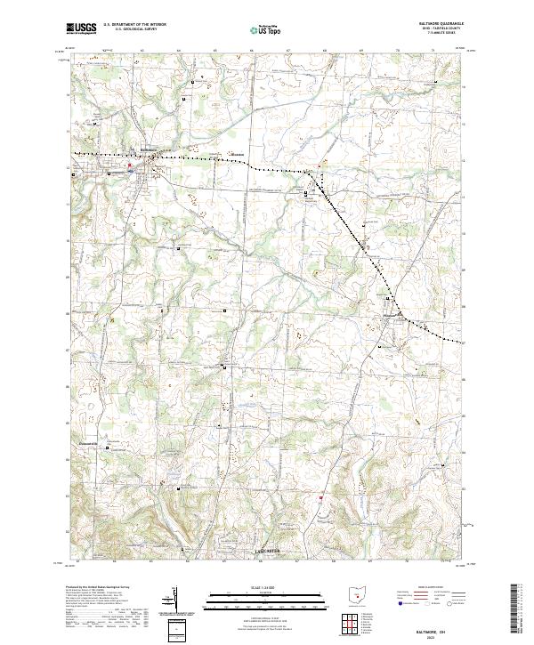
Baltimore and the neighboring settlements of Thurston and Pleasantville anchor this northern Fairfield County landscape, where the headwaters of Walnut Creek and Pleasant Run carve through the agricultural terrain. The map reveals a dense network of local cemeteries that speak to the area's early settlement history, including the Old Basil Cem and Basil Memorial Cem, which preserve the memory of the village of Basil before its incorporation with Baltimore. To the south, the terrain descends toward the northern outskirts of Lancaster, passing the modern Floral Hills Memory Gardens. The presence of Industry Air Park near Thurston highlights the late 20th-century intersection of rural life and local aviation, while the numerous family and church burial grounds like Warner Cem, Kumler Cem, and Saint Peters Cem provide a meticulous record for genealogical research across these townships.
Find a feature on this map
81 named features on this map. Tap any name to fly to it.
Don’t see what you’re looking for? This feature index may not catch every label — zoom into the map to look around manually.
Map Details
Editions of this 2023 Baltimore Map
This is the sole edition of this map. No revisions or reprints were ever made.
Historical Maps of Dumontville Through Time
Featured Locations
- Lancaster, OH
- Liberty Township, OH
- Pleasantville, OH
- Baltimore, Liberty Township
- Thurston, Walnut Township