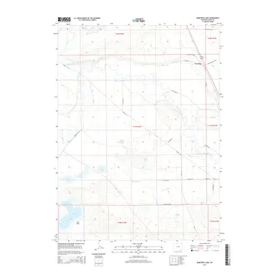
2015 Map of Bamforth Lake
USGS Topo · Published 2015About this map
The Laramie River and Little Laramie River converge in this high-plains landscape, carving a meandering path through a network of ranchlands and water management features. The area is defined by its depressions and catchments, including the significant Bamforth Lake and the Big Basin terrain to its south. The map documents an intricate system of irrigation and drainage essential to the region's agricultural viability, evidenced by the Biddick Ditch, Carroll Ditch Number 1, and the Fork of N Canal.
Find a feature on this map
38 named features on this map. Tap any name to fly to it.
Don’t see what you’re looking for? This feature index may not catch every label — zoom into the map to look around manually.
Map Details
Editions of this 2015 Bamforth Lake Map
This is the sole edition of this map. No revisions or reprints were ever made.
Other maps of this area

1895 · Laramie
USGS Topo · 1:125,000

1902 · Laramie
USGS Topo · 1:125,000

1905 · Laramie
USGS Topo · 1:125,000

1906 · Laramie
USGS Topo · 1:125,000

1908 · Laramie
USGS Topo · 1:125,000

1954 · Cheyenne
USGS Topo · 1:250,000

1955 · Bosler
USGS Topo · 1:24,000

1955 · Bosler SE
USGS Topo · 1:24,000

1955 · Cooper Lake South
USGS Topo · 1:24,000

1958 · Cheyenne
USGS Topo · 1:250,000