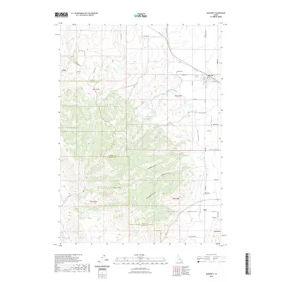
2023 Map of Bancroft
USGS Topo · Published 2023About this map
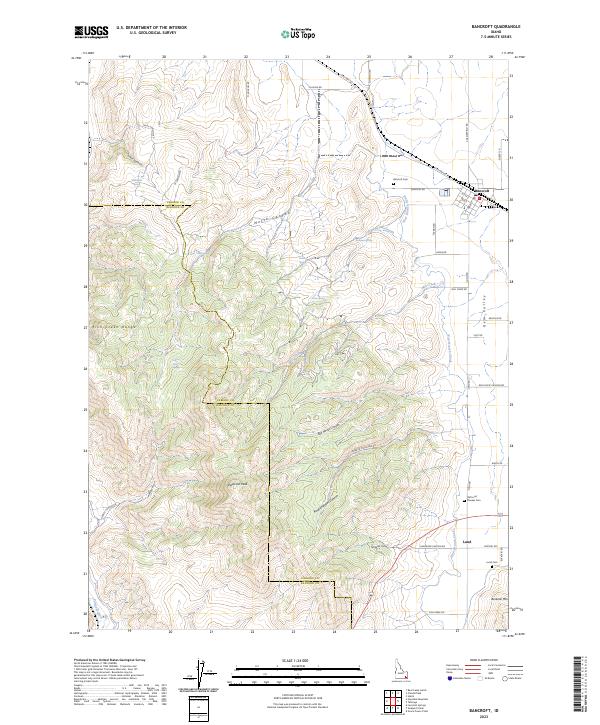
Bancroft serves as the primary hub in this corner of southeastern Idaho, situated at the northern edge of Gem Valley. The township's grid is clearly defined by local landmarks like the Bancroft Cem and thoroughfares such as Old Hwy-30. Moving south, the landscape transitions into agricultural irrigation networks, dominated by the West Branch Canal and numerous named springs including Josie Spring and School House Spring.
Find a feature on this map
56 named features on this map. Tap any name to fly to it.
Don’t see what you’re looking for? This feature index may not catch every label — zoom into the map to look around manually.
Map Details
Editions of this 2023 Bancroft Map
2 editions found
Other maps of this area

1917 · Portneuf
USGS Topo · 1:62,500

1948 · Bancroft
USGS Topo · 1:62,500

1949 · Bancroft
USGS Topo · 1:62,500

1954 · Pocatello
USGS Topo · 1:250,000

1955 · Preston
USGS Topo · 1:250,000

1958 · Pocatello
USGS Topo · 1:250,000

1958 · Preston
USGS Topo · 1:250,000

1962 · Preston
USGS Topo · 1:250,000

1968 · Bear Camp Gulch
USGS Topo · 1:24,000

1968 · Lava Hot Springs
USGS Topo · 1:24,000