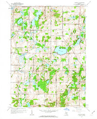
1961 Map of Banfield
USGS Topo · Published 1962About this map
Fine Lake and a dense network of glacial water bodies dominate this southwestern Michigan landscape during the early 1960s. The area is defined by its small crossroads settlements and rural institutions, particularly around the community of Banfield. The map reveals a high concentration of local educational history through structures like Burroughs Sch, King Sch, and Kirby Sch, along with several historic burial grounds including Banfield Cem and Stony Lake Cem.
Find a feature on this map
45 named features on this map. Tap any name to fly to it.
Don’t see what you’re looking for? This feature index may not catch every label — zoom into the map to look around manually.
Map Details
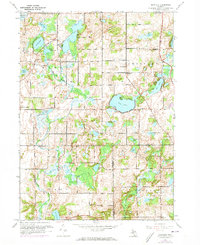
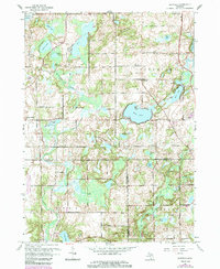
Editions of this 1961 Banfield Map
3 editions found
Other maps of this area

1918 · Battle Creek
USGS Topo · 1:62,500

1918 · Galesburg
USGS Topo · 1:62,500

1943 · Battle Creek
USGS Topo · 1:62,500

1944 · Galesburg
USGS Topo · 1:62,500

1947 · Augusta
USGS Topo · 1:24,000

1947 · Delton
USGS Topo · 1:24,000

1947 · Galesburg
USGS Topo · 1:24,000

1947 · Banfield
USGS Topo · 1:24,000

1947 · Bedford
USGS Topo · 1:24,000

1947 · Battle Creek
USGS Topo · 1:24,000