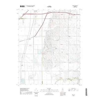
2018 Map of Banks
USGS Topo · Published 2018About this map
Marienette and Eudora anchor the northern landscape where modern infrastructure meets the complex hydrology of the Mississippi Delta's edge. The terrain is defined by a dense network of waterways including Duck Pond Bayou, Lake Cormorant Bayou, and Lost Lake Bayou, illustrating the sophisticated drainage and flood control patterns characteristic of DeSoto and Tunica Counties. In the south, the expansive waters of Arkabutla Lake and the Coldwater River mark a significant environmental transition.
Find a feature on this map
79 named features on this map. Tap any name to fly to it.
Don’t see what you’re looking for? This feature index may not catch every label — zoom into the map to look around manually.
Map Details
Editions of this 2018 Banks Map
This is the sole edition of this map. No revisions or reprints were ever made.
Other maps of this area

1908 · Hollywood
USGS Topo · 1:24,000

1908 · Lake Cormorant
USGS Topo · 1:24,000

1912 · Lake Cormorant
USGS Topo · 1:31,680

1913 · Hollywood
USGS Topo · 1:31,680

1931 · Horseshoe Lake
USGS Topo · 1:62,500

1932 · Horn Lake
USGS Topo · 1:48,000

1932 · Crenshaw
USGS Topo · 1:62,500

1935 · Crenshaw
USGS Topo · 1:62,500

1935 · Horn Lake
USGS Topo · 1:62,500

1939 · Clayton
USGS Topo · 1:62,500