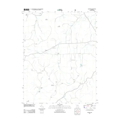
2011 Map of Banner
USGS Topo · Published 2011About this map
Banner sits at the center of this Iron County landscape, where the terrain is defined by significant elevations like Pruitt Mountain, Logan Mountain, and Bell Mountain. The area is marked by numerous family and community burial grounds, including Thomas Chapel Cemetery, Tullock Cemetery, and the Richardson Cemetery, which provide vital touchstones for genealogical research in this part of Missouri. The drainage pattern is intricate, with Cedar Creek and Reid Creek carving through the valleys, while McClurg Branch and Keesling Branch feed into the larger waterways.
Find a feature on this map
40 named features on this map. Tap any name to fly to it.
Don’t see what you’re looking for? This feature index may not catch every label — zoom into the map to look around manually.
Map Details
Editions of this 2011 Banner Map
This is the sole edition of this map. No revisions or reprints were ever made.
Other maps of this area

1905 · Bonneterre
USGS Topo · 1:62,500

1906 · Potosi
USGS Topo · 1:62,500

1924 · Edgehill
USGS Topo · 1:62,500

1926 · Edgehill
USGS Topo · 1:62,500

1937 · Ironton
USGS Topo · 1:48,000

1945 · Ironton
USGS Topo · 1:62,500

1946 · Ironton
USGS Topo · 1:62,500

1949 · Rolla
USGS Topo · 1:250,000

1953 · Ironton
USGS Topo · 1:62,500

1953 · Rolla
USGS Topo · 1:250,000