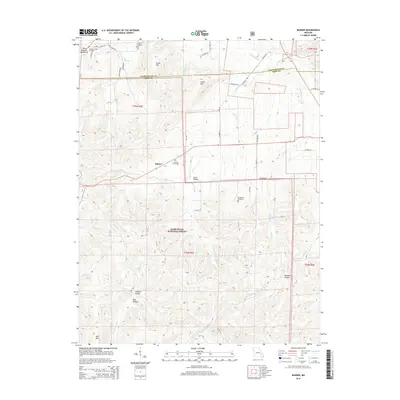
2015 Map of Banner
USGS Topo · Published 2015About this map
The Saint Francois Mountains dominate this 2015 survey of the Iron and Washington county line, where the small settlement of Banner sits at the intersection of several mountain roads. Much of the southern landscape is protected within the Mark Twain National Forest, characterized by deep hollows and high peaks such as Bell Mtn and Logan Mtn. Genealogical interests are well-served by the density of family and community burial sites, including the Nelson Cemetery, Richardson Cemetery, and Tullock Cemetery near the northern boundary. The terrain is defined by its complex drainage network, with the Imboden Fork and Lottery Cr carving paths through the high country. Small rural landmarks like Thomas Chapel and its adjacent cemetery reflect the long-standing community structure in this part of Missouri.
Find a feature on this map
55 named features on this map. Tap any name to fly to it.
Don’t see what you’re looking for? This feature index may not catch every label — zoom into the map to look around manually.
Map Details
Editions of this 2015 Banner Map
This is the sole edition of this map. No revisions or reprints were ever made.
Other maps of this area

1905 · Bonneterre
USGS Topo · 1:62,500

1906 · Potosi
USGS Topo · 1:62,500

1924 · Edgehill
USGS Topo · 1:62,500

1926 · Edgehill
USGS Topo · 1:62,500

1937 · Ironton
USGS Topo · 1:48,000

1945 · Ironton
USGS Topo · 1:62,500

1946 · Ironton
USGS Topo · 1:62,500

1949 · Rolla
USGS Topo · 1:250,000

1953 · Ironton
USGS Topo · 1:62,500

1953 · Rolla
USGS Topo · 1:250,000