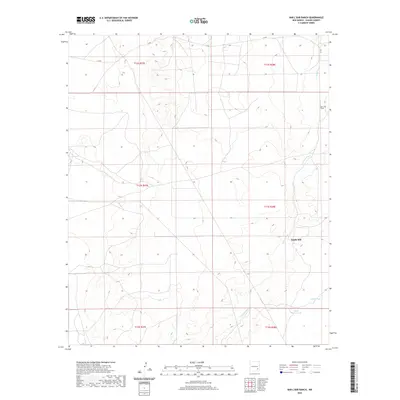
2020 Map of Bar C Bar Ranch
USGS Topo · Published 2020About this map
Long Arroyo defines the drainage patterns of this high plains landscape in eastern Chaves County. This topographic survey captures the sparse ranching infrastructure essential for survival in the arid terrain of southeast New Mexico. The Bar C Bar Ranch stands as the primary named settlement, surrounded by critical water management features such as South Mill, South Tank, and North Morris Tank. The map illustrates the sprawling township and range system, specifically covering parts of T12S through T14S. For local historians and researchers, these labels provide a clear view of how water resources were distributed across the territory to support livestock and habitation far from major population centers.
Find a feature on this map
11 named features on this map. Tap any name to fly to it.
Don’t see what you’re looking for? This feature index may not catch every label — zoom into the map to look around manually.
Map Details
Editions of this 2020 Bar C Bar Ranch Map
This is the sole edition of this map. No revisions or reprints were ever made.
Other maps of this area

1949 · Wade Ranch
USGS Topo · 1:24,000

1949 · Malstrom Ranch
USGS Topo · 1:24,000

1950 · Bottomless Lakes
USGS Topo · 1:24,000

1950 · Dexter East
USGS Topo · 1:24,000

1951 · Ninemile Well
USGS Topo · 1:24,000

1951 · King Camp
USGS Topo · 1:24,000

1951 · Hagerman
USGS Topo · 1:24,000

1952 · Connor Well
USGS Topo · 1:24,000

1952 · Bar C Bar Ranch
USGS Topo · 1:24,000

1955 · Roswell
USGS Topo · 1:250,000