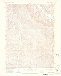
1966 Map of Barcus Creek SE
USGS Topo · Published 1970About this map
The White River carves through the northeastern corner of this Rio Blanco County landscape, while the serpentine course of Yellow Creek dominates the western half of the terrain. The map captures a mid-1960s snapshot of resource extraction and infrastructure in rural Colorado, marked by several Drill Holes, a Gas Well, and a prominent Pipeline cutting through the center. Industrial activity is concentrated near the river, where Gravel Pits sit adjacent to the winding channel. Away from the water, the topography is defined by significant drainage systems including Pinto Gulch, Little Gulch, and Short Gulch. The southeastern corner shows the start of Alkali Flat as it meets Piceance Creek. This survey reflects the region's character as a crossroads of high-desert drainage and energy development during the mid-century period.
Find a feature on this map
19 named features on this map. Tap any name to fly to it.
Don’t see what you’re looking for? This feature index may not catch every label — zoom into the map to look around manually.
Map Details
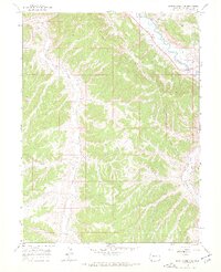
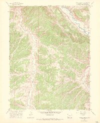
Editions of this 1966 Barcus Creek SE Map
3 editions found
Other maps of this area

1907 · White River
USGS Topo · 1:125,000

1910 · White River
USGS Topo · 1:125,000

1952 · Wolf Ridge
USGS Topo · 1:24,000

1952 · Greasewood Gulch
USGS Topo · 1:24,000

1952 · Square S Ranch
USGS Topo · 1:24,000

1954 · Vernal
USGS Topo · 1:250,000

1956 · Grand Junction
USGS Topo · 1:250,000

1958 · Vernal
USGS Topo · 1:250,000

1959 · Grand Junction
USGS Topo · 1:250,000

1960 · Vernal
USGS Topo · 1:250,000