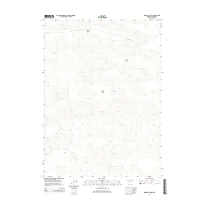
2014 Map of Barent Valley
USGS Topo · Published 2014About this map
Barent Valley and the surrounding Nebraska Sandhills are defined by a complex network of dry and water-fed basins within Cherry County. The landscape is marked by the seasonal flow of Calf Cr which cuts through the Calf Creek Valley, while the northern portion of the quadrangle is dominated by the broad, flat expanse of Dry Valley. Human presence in this section of the Great Plains is sparse but notable, anchored by the James Cem in the southwest and the isolated path of Dry Valley Rd to the north. This 2014 survey illustrates how traditional ranching corridors and local landmarks persist in a terrain shaped by undulating dunes and high-altitude valleys, offering a clear view of the rural infrastructure between these drainage systems.
Find a feature on this map
6 named features on this map. Tap any name to fly to it.
Don’t see what you’re looking for? This feature index may not catch every label — zoom into the map to look around manually.
Map Details
Editions of this 2014 Barent Valley Map
This is the sole edition of this map. No revisions or reprints were ever made.
Other maps of this area

1948 · Seneca
USGS Topo · 1:62,500

1948 · Mullen
USGS Topo · 1:62,500

1949 · Big Falls
USGS Topo · 1:62,500

1951 · Mullen
USGS Topo · 1:62,500

1951 · Seneca
USGS Topo · 1:62,500

1951 · Big Falls
USGS Topo · 1:62,500

1951 · Bull Lake
USGS Topo · 1:62,500

1957 · Valentine
USGS Topo · 1:250,000

1959 · Valentine
USGS Topo · 1:250,000

1985 · Mullen
USGS Topo · 1:100,000