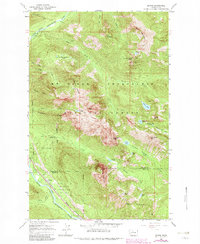
1965 Map of Baring
USGS Topo · Published 1982About this map
The South Fork Skykomish River corridor serves as the primary artery for settlement and industry in this pocket of the Cascades, where the Burlington Northern railroad and a major Pipeline parallel the river through Baring and Index. High-altitude mining history is preserved at the Sunset Mine on Trout Creek, while the surrounding terrain is defined by massive peaks including Gunn Peak, Merchant Peak, and the sheer rise of Baring Mountain. Much of the landscape is contained within the Mt Baker - Snoqualmie National Forest, which features a network of alpine waters such as Sunset Lake, Barclay Lake, and the curiously named Tom-Dick and Harry Lakes. The boundary between Snohomish Co and King Co cuts directly across the southern slopes, marking a transition from industrial riverfront to protected wilderness.
Find a feature on this map
46 named features on this map. Tap any name to fly to it.
Don’t see what you’re looking for? This feature index may not catch every label — zoom into the map to look around manually.
Map Details
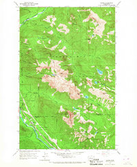
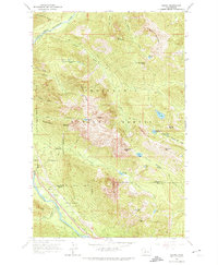
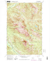
Editions of this 1965 Baring Map
4 editions found
Other maps of this area

1902 · Skykomish
USGS Topo · 1:125,000

1905 · Skykomish
USGS Topo · 1:125,000

1921 · Sultan
USGS Topo · 1:125,000

1923 · Sultan
USGS Topo · 1:125,000

1957 · Index
USGS Topo · 1:62,500

1957 · Wenatchee
USGS Topo · 1:250,000

1960 · Mount Si
USGS Topo · 1:62,500

1965 · Evergreen Mtn
USGS Topo · 1:24,000

1965 · Grotto
USGS Topo · 1:24,000

1965 · Monte Cristo
USGS Topo · 1:24,000