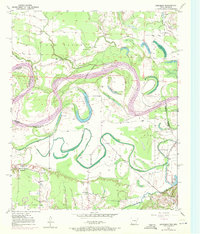
1950 Map of Barkman
USGS Topo · Published 1972About this map
Red River meanders define the border landscape between Bowie County, Texas, and Little River County, Arkansas, during this mid-century period. The terrain is characterized by a complex network of oxbow lakes and abandoned river channels, including Roseborough Lake, Smith Lake, and The Old Sag, which mark the river's shifting path over time. Settlement is concentrated around the community of Barkman and southern points, where social life is anchored by institutions like the Rosenwald Sch and local congregations at St Lukes Ch, Everett Ch, and Mt Zion Ch. The hydrologic environment is heavily managed, as evidenced by the Diversion Canal and McKinney Bayou, which snake through the bottomlands. This map captures the agricultural and social structure of the river valley before modern channelization further altered the historic floodplain and the family farms that relied upon it.
Find a feature on this map
29 named features on this map. Tap any name to fly to it.
Don’t see what you’re looking for? This feature index may not catch every label — zoom into the map to look around manually.
Map Details
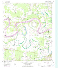
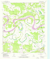
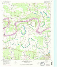
Editions of this 1950 Barkman Map
5 editions found
Other maps of this area

1909 · New Boston
USGS Topo · 1:62,500

1909 · Texarkana
USGS Topo · 1:62,500

1950 · Redbank
USGS Topo · 1:24,000

1950 · Ashdown East
USGS Topo · 1:24,000

1950 · Ashdown West
USGS Topo · 1:24,000

1950 · Ogden
USGS Topo · 1:24,000

1950 · Barkman
USGS Topo · 1:24,000

1951 · Redbank
USGS Topo · 1:24,000

1951 · Ashdown West
USGS Topo · 1:24,000

1951 · Ogden
USGS Topo · 1:24,000