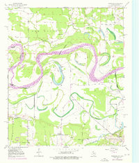
1950 Map of Barkman
USGS Topo · Published 1976About this map
The Red River creates a massive, looping boundary between Arkansas and Texas, defining a landscape of oxbow lakes and complex hydraulic history. This survey, based on 1950 topography with revisions through the mid-1970s, reveals a riverbed prone to migration, leaving behind features like Roseborough Lake, Scott Lake, and Smith Lake in the floodplain. The southern portion of the map is dominated by the small communities of Barkman and Wamba, where local life centered around rural landmarks such as Mt Zion Ch and Everett Ch. The intricate drainage system is further modified by the Diversion Canal and natural waterways like Bayou McKinney, illustrating the ongoing efforts to manage the water and sediment of the Little River and Red River basins. Genealogists may find value in the location of Clear Lake Cem and several community churches that served these river-border settlements.
Find a feature on this map
34 named features on this map. Tap any name to fly to it.
Don’t see what you’re looking for? This feature index may not catch every label — zoom into the map to look around manually.
Map Details
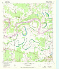
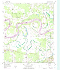
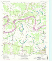
Editions of this 1950 Barkman Map
5 editions found
Other maps of this area

1909 · New Boston
USGS Topo · 1:62,500

1909 · Texarkana
USGS Topo · 1:62,500

1950 · Redbank
USGS Topo · 1:24,000

1950 · Ashdown East
USGS Topo · 1:24,000

1950 · Ashdown West
USGS Topo · 1:24,000

1950 · Ogden
USGS Topo · 1:24,000

1950 · Barkman
USGS Topo · 1:24,000

1951 · Redbank
USGS Topo · 1:24,000

1951 · Ashdown West
USGS Topo · 1:24,000

1951 · Ogden
USGS Topo · 1:24,000