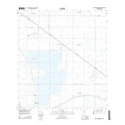
2015 Map of Barley Barber Swamp
USGS Topo · Published 2015About this map
Barley Barber Swamp and the surrounding Martin County wetlands dominate this 2015 landscape, showcasing the complex water management systems of south-central Florida. The map details a transition from the natural terrain of Allapattah Flats to the engineered hydrology of the Saint Lucie Canal and the Okeechobee Waterway. Transportation infrastructure is a central theme, with SW Warfield Blvd slicing diagonally across the terrain, accompanied by the industrial spine of the Florida East Coast railway.
Find a feature on this map
28 named features on this map. Tap any name to fly to it.
Don’t see what you’re looking for? This feature index may not catch every label — zoom into the map to look around manually.
Map Details
Editions of this 2015 Barley Barber Swamp Map
This is the sole edition of this map. No revisions or reprints were ever made.
Other maps of this area

1953 · Okeechobee 4 SW
USGS Topo · 1:24,000

1953 · Okeechobee 4 SE
USGS Topo · 1:24,000

1953 · Okeechobee 4 NE
USGS Topo · 1:24,000

1953 · Okeechobee 4 NW
USGS Topo · 1:24,000

1953 · Indian Town NW
USGS Topo · 1:24,000

1953 · Indian Town
USGS Topo · 1:24,000

1956 · West Palm Beach
USGS Topo · 1:250,000

1956 · Fort Pierce
USGS Topo · 1:250,000

1957 · West Palm Beach
USGS Topo · 1:250,000

1958 · Fort Pierce
USGS Topo · 1:250,000