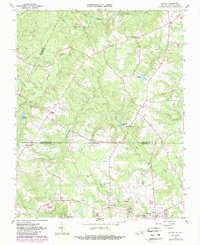
1963 Map of Barley
USGS Topo · Published 1989About this map
Fontaine Creek and its many tributaries, including Quarrel Creek and Rattlesnake Creek, define the drainage of this borderland between Virginia and North Carolina in the early 1960s. The landscape is dotted with rural infrastructure, including Garners Mill and the Royland Sch, alongside numerous community landmarks like Macedonia Ch and Oak Grove Ch.
Find a feature on this map
40 named features on this map. Tap any name to fly to it.
Don’t see what you’re looking for? This feature index may not catch every label — zoom into the map to look around manually.
Map Details
Editions of this 1963 Barley Map
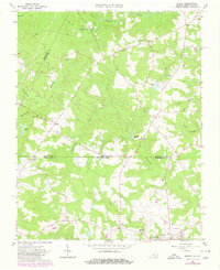
Other maps of this area

1919 · White Plains
USGS Topo · 1:48,000

1919 · Emporia
USGS Topo · 1:62,500

1920 · White Plains
USGS Topo · 1:62,500

1942 · Emporia
USGS Topo · 1:62,500

1953 · Norfolk
USGS Topo · 1:250,000

1963 · Powellton
USGS Topo · 1:24,000

1963 · Skippers
USGS Topo · 1:24,000

1963 · Barley
USGS Topo · 1:24,000

1963 · Emporia
USGS Topo · 1:24,000

1963 · Ante
USGS Topo · 1:24,000