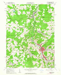
1961 Map of Barnesboro
USGS Topo · Published 1963About this map
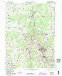
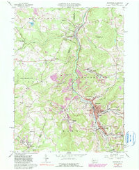
The industrial character of the Allegheny Plateau is evident along the West Branch Susquehanna River, where the borough of Barnesboro and the adjacent community of Spangler serve as the primary population centers. In the early 1960s, this region was defined by a landscape heavily marked by coal extraction, with numerous Strip Mines, Mine Dumps, and specific sites like Moss Creek indicating the economic lifeblood of the area. The map reveals a dense network of local institutions, including Northern Cambria High Sch, St Johns Sch, and various parochial schools that anchored these mining communities.
Find a feature on this map
82 named features on this map. Tap any name to fly to it.
Don’t see what you’re looking for? This feature index may not catch every label — zoom into the map to look around manually.
Map Details
Editions of this 1961 Barnesboro Map
6 editions found
Other maps of this area

1902 · Patton
USGS Topo · 1:62,500

1902 · Barnesboro
USGS Topo · 1:62,500

1903 · Curwensville
USGS Topo · 1:62,500

1904 · Barnesboro
USGS Topo · 1:62,500

1904 · Patton
USGS Topo · 1:62,500

1906 · Punxsutawney
USGS Topo · 1:62,500

1939 · Curwensville
USGS Topo · 1:62,500

1939 · Punxsutawney
USGS Topo · 1:62,500

1942 · Curwensville
USGS Topo · 1:62,500

1942 · Punxsutawney
USGS Topo · 1:62,500
Featured Places
- Northern Cambria, PA
- Cherry Tree, PA
- North Barnesboro, PA
- Watkins, Barr Township
- West Carroll Township, PA