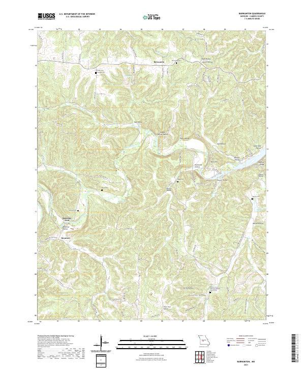
2021 Map of Barnumton
USGS Topo · Published 2021About this map
The Little Niangua River carves a winding path through the center of this Camden County landscape, defining the local topography and settlement patterns. The small community of Barnumton sits at a crossroads in the north, while Bannister anchors the southwestern reaches near Bannister Ford. The terrain is characterized by a dense network of named hollows, including Chalk Hollow and Lime Kiln Hollow, which suggest the historic importance of the region's limestone resources and spring-fed drainage.
Find a feature on this map
88 named features on this map. Tap any name to fly to it.
Don’t see what you’re looking for? This feature index may not catch every label — zoom into the map to look around manually.
Map Details
Editions of this 2021 Barnumton Map
This is the sole edition of this map. No revisions or reprints were ever made.
Other maps of this area

1884 · Bolivar
USGS Topo · 1:125,000

1887 · Warsaw
USGS Topo · 1:125,000

1888 · Versailles
USGS Topo · 1:125,000

1892 · Bolivar
USGS Topo · 1:125,000

1893 · Versailles
USGS Topo · 1:125,000

1894 · Warsaw
USGS Topo · 1:125,000

1934 · Macks Creek
USGS Topo · 1:48,000

1934 · Purvis
USGS Topo · 1:24,000

1934 · Irontown Ferry
USGS Topo · 1:24,000

1934 · Green Bay Terrace
USGS Topo · 1:24,000