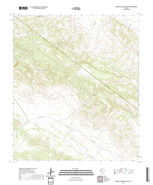
2022 Map of Barrilla Mountains West
USGS Topo · Published 2022About this map
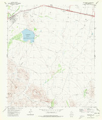
The Barrilla Mountains dominate this high-desert landscape in the Trans-Pecos region, where water sources dictate the geography of human activity. The map traces the winding course of Limpia Cr through Limpia Canyon in the southwest, paralleled by Limpia Creek Rd. Water management for livestock is evident through several named infrastructure points, including Shewmake Tank, Carpenter Goat Tank, and Noel Tank. The rugged elevation is punctuated by landmarks such as Needle Point and Carpenter Mtn, while the diagonal boundary between Reeves County and Jeff Davis County bisects the terrain. Remote springs like House Spring and Head Spring serve as critical anchors in this arid environment, providing essential relief within the deep cuts of Point Canyon and Lochousen Canyon.
Find a feature on this map
22 named features on this map. Tap any name to fly to it.
Don’t see what you’re looking for? This feature index may not catch every label — zoom into the map to look around manually.
Map Details
Editions of this 2022 Barrilla Mountains West Map
This is the sole edition of this map. No revisions or reprints were ever made.
Other maps of this area

1894 · Fort Davis
USGS Topo · 1:125,000

1897 · Fort Davis
USGS Topo · 1:125,000

1954 · Fort Stockton
USGS Topo · 1:250,000

1958 · Fort Stockton
USGS Topo · 1:250,000

1972 · Swayback Mountain
USGS Topo · 1:24,000
1972 · Big Aguja Mountain
USGS Topo · 1:24,000
1972 · Toyahvale
USGS Topo · 1:24,000

1973 · Fort Stockton
USGS Topo · 1:250,000
1980 · Cox Draw
USGS Topo · 1:24,000
1980 · Balmorhea
USGS Topo · 1:24,000