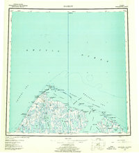
1955 Map of Barrow
USGS Topo · Published 1960About this map
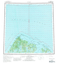
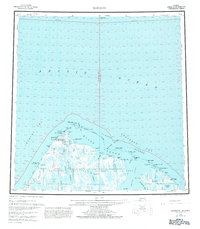
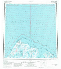
Barrow and the nearby settlement of Browerville sit at the northwestern edge of the continent, where the Chukchi Sea meets the Beaufort Sea. This mid-century survey documents the transition from ancestral sites like Nuwuk at Pt Barrow to modern infrastructure, including the Pt Barrow Airfield and early energy exploration marked by a Gas Well and the North Simpson Test Well. The landscape is defined by an intricate network of coastal features like Elson Lagoon and the Plover Islands, alongside numerous freshwater bodies such as Sukok Lake and Tusikvoak Lake. A Winter Trail connects the coast to the interior, while the Will Rogers and Wiley Post Memorial stands near Walakpa Bay, marking the site of the famous 1935 aviation tragedy.
Find a feature on this map
61 named features on this map. Tap any name to fly to it.
Don’t see what you’re looking for? This feature index may not catch every label — zoom into the map to look around manually.
Map Details
Editions of this 1955 Barrow Map
8 editions found
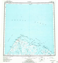
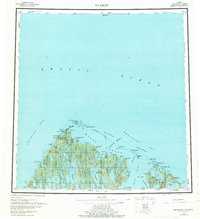
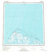
Other maps of this area

1945 · Barrow
USGS Topo · 1:250,000

1949 · Barrow
USGS Topo · 1:250,000

1951 · Meade River
USGS Topo · 1:250,000

1951 · Teshekpuk
USGS Topo · 1:250,000

1955 · Barrow A-2
USGS Topo · 1:63,360

1955 · Barrow
USGS Topo · 1:250,000

1955 · Teshekpuk
USGS Topo · 1:250,000

1955 · Barrow B-4
USGS Topo · 1:63,360

1955 · Meade River
USGS Topo · 1:250,000

1955 · Barrow A-4
USGS Topo · 1:63,360