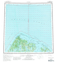
1955 Map of Barrow
USGS Topo · Published 1981About this map
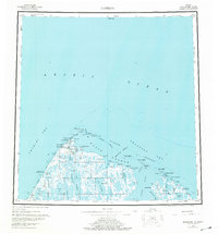
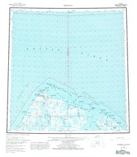
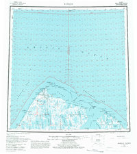
Point Barrow and the surrounding coastline of the Chukchi Sea and Beaufort Sea are captured in this mid-century survey of Alaska's northernmost reaches. The map details the remote settlements of Barrow and Browerville, alongside significant infrastructure including the Naval Arctic Research Laboratory and the Wiley Post-Will Rogers Memorial Airport. The landscape is a complex network of coastal features like Elson Lagoon and the Plover Islands, with several landmarks commemorating the 1935 air crash, such as the Will Rogers and Wiley Post Memorial. Early energy exploration in the National Petroleum Reserve in Alaska is evident through labels for the South Barrow Gas Well No 1 and North Simpson Test Well No 1. Inland, the terrain is dominated by vast lake systems like Ikpikpuk Lake and Sukok Lake, connected by seasonal routes like the Winter Trail.
Find a feature on this map
68 named features on this map. Tap any name to fly to it.
Don’t see what you’re looking for? This feature index may not catch every label — zoom into the map to look around manually.
Map Details
Editions of this 1955 Barrow Map
8 editions found
Other maps of this area

1945 · Barrow
USGS Topo · 1:250,000

1949 · Barrow
USGS Topo · 1:250,000

1951 · Meade River
USGS Topo · 1:250,000

1951 · Teshekpuk
USGS Topo · 1:250,000

1955 · Barrow A-2
USGS Topo · 1:63,360

1955 · Barrow
USGS Topo · 1:250,000

1955 · Teshekpuk
USGS Topo · 1:250,000

1955 · Barrow B-4
USGS Topo · 1:63,360

1955 · Meade River
USGS Topo · 1:250,000

1955 · Barrow A-4
USGS Topo · 1:63,360