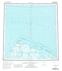
1955 Map of Barrow
USGS Topo · Published 1981About this map
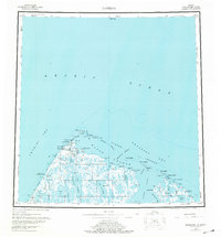
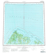
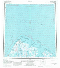
Barrow and the adjacent settlement of Browerville sit at the northernmost edge of the United States, where the Chukchi Sea meets the Beaufort Sea. This mid-century survey documents a landscape of strategic and scientific importance, featuring the Naval Arctic Research Laboratory and Pt Barrow Airfield north of the main village. The presence of the Will Rogers and Wiley Post Memorial marks the site of the 1935 aviation tragedy near Walakpa Bay.
Find a feature on this map
61 named features on this map. Tap any name to fly to it.
Don’t see what you’re looking for? This feature index may not catch every label — zoom into the map to look around manually.
Map Details
Editions of this 1955 Barrow Map
8 editions found
Other maps of this area

1945 · Barrow
USGS Topo · 1:250,000

1949 · Barrow
USGS Topo · 1:250,000

1951 · Meade River
USGS Topo · 1:250,000

1951 · Teshekpuk
USGS Topo · 1:250,000

1955 · Barrow A-2
USGS Topo · 1:63,360

1955 · Barrow
USGS Topo · 1:250,000

1955 · Teshekpuk
USGS Topo · 1:250,000

1955 · Barrow B-4
USGS Topo · 1:63,360

1955 · Meade River
USGS Topo · 1:250,000

1955 · Barrow A-4
USGS Topo · 1:63,360