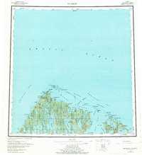
1955 Map of Barrow
USGS Topo · Published 1976About this map
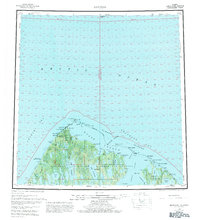
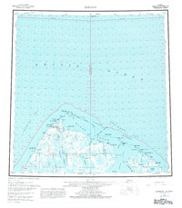
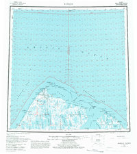
The northernmost reaches of the American continent are defined here by Pt Barrow and the village of Barrow, positioned where the Chukchi Sea meets the Beaufort Sea. This mid-century survey documents the critical infrastructure of the era, including the Naval Arctic Research Laboratory and the Wiley Post-Will Rogers Memorial Airport, alongside the smaller settlement of Browerville. The landscape is a complex network of coastal features such as Elson Lagoon and the Plover Islands, while the inland tundra is saturated with named water bodies like Tusikvoak Lake and Ikroavik Lake. Reminders of aviation history are prominent, specifically the Will Rogers and Wiley Post Memorial and the remote Cape Simpson Landing Strip. A seasonal Winter Trail connects these isolated outposts across the permafrost, illustrating the unique transportation patterns required for Arctic survival and research before modern expansion.
Find a feature on this map
77 named features on this map. Tap any name to fly to it.
Don’t see what you’re looking for? This feature index may not catch every label — zoom into the map to look around manually.
Map Details
Editions of this 1955 Barrow Map
8 editions found
Other maps of this area

1945 · Barrow
USGS Topo · 1:250,000

1949 · Barrow
USGS Topo · 1:250,000

1951 · Meade River
USGS Topo · 1:250,000

1951 · Teshekpuk
USGS Topo · 1:250,000

1955 · Barrow A-2
USGS Topo · 1:63,360

1955 · Barrow
USGS Topo · 1:250,000

1955 · Teshekpuk
USGS Topo · 1:250,000

1955 · Barrow B-4
USGS Topo · 1:63,360

1955 · Meade River
USGS Topo · 1:250,000

1955 · Barrow A-4
USGS Topo · 1:63,360