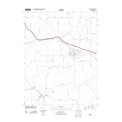
2012 Map of Barry
USGS Topo · Published 2012About this map
Barry serves as the primary hub of this Western Illinois landscape, situated at a junction of regional transit that includes Old US Hwy 36. The town's grid is flanked by several local burial grounds, including Park Lawn Cem and Barry Cem, while the surrounding rural township is dotted with family and community landmarks like Woodruff Cem and Stoney Point Cem. Aviation history is notably present with three distinct facilities: Potter Airport to the north, Gully Landing Strip to the southwest, and the specialized Barry Balloonport just east of town.
Find a feature on this map
67 named features on this map. Tap any name to fly to it.
Don’t see what you’re looking for? This feature index may not catch every label — zoom into the map to look around manually.
Map Details
Editions of this 2012 Barry Map
This is the sole edition of this map. No revisions or reprints were ever made.
Other maps of this area

1925 · Liberty
USGS Topo · 1:62,500

1926 · Pittsfield
USGS Topo · 1:62,500

1926 · Mt Sterling
USGS Topo · 1:62,500

1927 · Liberty
USGS Topo · 1:62,500

1929 · Mt Sterling
USGS Topo · 1:62,500

1931 · Barry
USGS Topo · 1:62,500

1936 · Barry
USGS Topo · 1:48,000

1944 · Barry
USGS Topo · 1:62,500

1948 · Quincy
USGS Topo · 1:250,000

1956 · Quincy
USGS Topo · 1:250,000