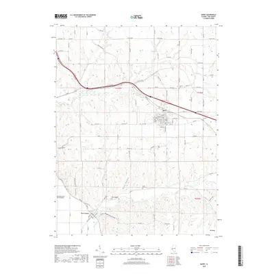
2018 Map of Barry
USGS Topo · Published 2018About this map
Barry serves as the primary hub in this portion of Pike County, characterized by a detailed street grid including Tremont St and Grand Ave. The landscape transition from the higher northern ground down toward the Mississippi River floodplains is marked by several prominent drainage features like Hadley Cr and Kiser Cr. This area is particularly rich in genealogical data, preserving the locations of numerous rural burial sites such as Woodruff Cem and Stoney Point Cem.
Find a feature on this map
88 named features on this map. Tap any name to fly to it.
Don’t see what you’re looking for? This feature index may not catch every label — zoom into the map to look around manually.
Map Details
Editions of this 2018 Barry Map
This is the sole edition of this map. No revisions or reprints were ever made.
Other maps of this area

1925 · Liberty
USGS Topo · 1:62,500

1926 · Pittsfield
USGS Topo · 1:62,500

1926 · Mt Sterling
USGS Topo · 1:62,500

1927 · Liberty
USGS Topo · 1:62,500

1929 · Mt Sterling
USGS Topo · 1:62,500

1931 · Barry
USGS Topo · 1:62,500

1936 · Barry
USGS Topo · 1:48,000

1944 · Barry
USGS Topo · 1:62,500

1948 · Quincy
USGS Topo · 1:250,000

1956 · Quincy
USGS Topo · 1:250,000