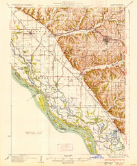
1931 Map of Barry
USGS Topo · Published 1931About this map
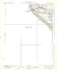
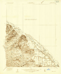
The Mississippi River floodplain dominates the western landscape of this 1931 survey, showing a complex network of sloughs and chutes along the Illinois-Missouri border. The map details a sophisticated drainage system including the Sny Ditch and Sny Slough, which were critical for reclaiming the rich bottomlands of Cincinnati and Pleasant Vale townships. This agricultural expansion is supported by a dense concentration of rural schoolhouses, such as Prairie Sch and Diamond Hill Sch, indicating a well-populated farming community during the early 20th century.
Find a feature on this map
104 named features on this map. Tap any name to fly to it.
Don’t see what you’re looking for? This feature index may not catch every label — zoom into the map to look around manually.
Map Details
Editions of this 1931 Barry Map
This is the sole edition of this map. No revisions or reprints were ever made.
Other maps of this area

1890 · Louisiana
USGS Topo · 1:125,000
1925 · Quincy
USGS Topo · 1:62,500
1925 · Liberty
USGS Topo · 1:62,500
1926 · Pittsfield
USGS Topo · 1:62,500
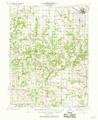
1926 · Mt Sterling
USGS Topo · 1:62,500
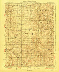
1927 · Liberty
USGS Topo · 1:62,500
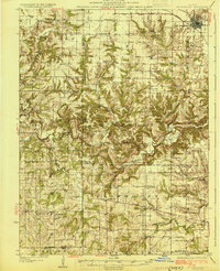
1929 · Mt Sterling
USGS Topo · 1:62,500
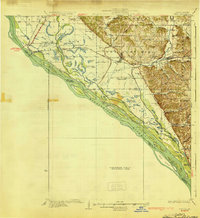
1930 · Nebo
USGS Topo · 1:62,500
1932 · Hannibal
USGS Topo · 1:62,500
1934 · Nebo
USGS Topo · 1:48,000