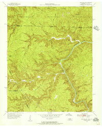
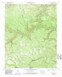
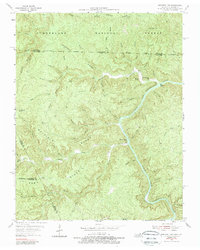
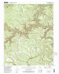
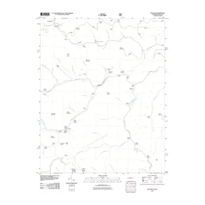
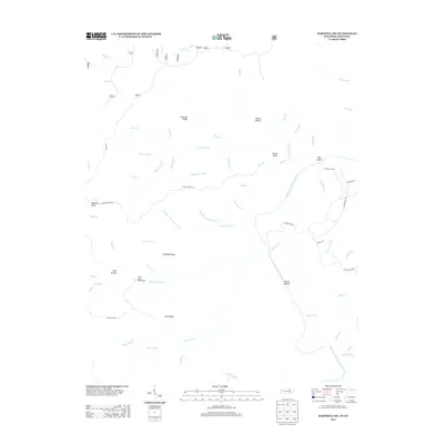
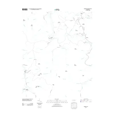
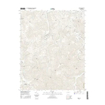
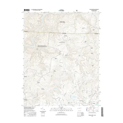
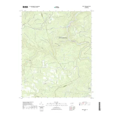
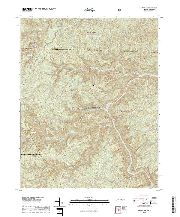
1955 Map of Barthell SW
USGS Topo · Published 1956About this map
The South Fork Cumberland River carves a deep path through this borderland, where the state line between Kentucky and Tennessee meets the boundary of the Cumberland National Forest. The landscape is dominated by high, branching plateaus such as Hatfield Ridge and Chestnut Ridge, which separate the myriad creek drainages feeding the river. These narrow valleys provided secluded locations for early community life, evidenced by the Station Camp Sch near the mouth of Station Camp Creek and the No Business Sch along the curiously named No Business Creek.
Find a feature on this map
69 named features on this map. Tap any name to fly to it.
Don’t see what you’re looking for? This feature index may not catch every label — zoom into the map to look around manually.
Map Details
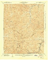
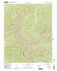
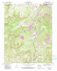
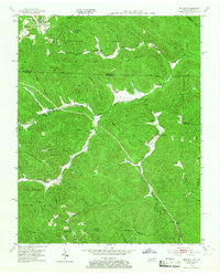
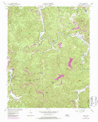
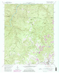
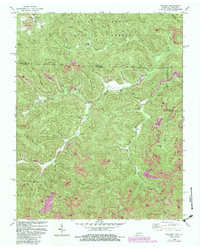
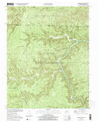
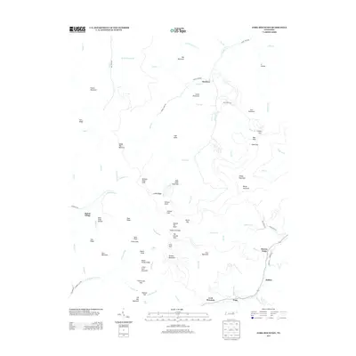
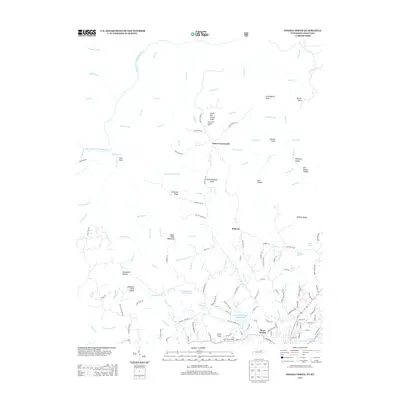
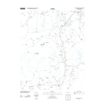
Editions of this 1955 Barthell SW Map
4 editions found

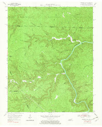
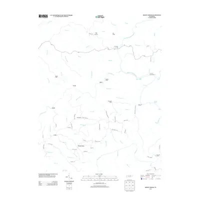
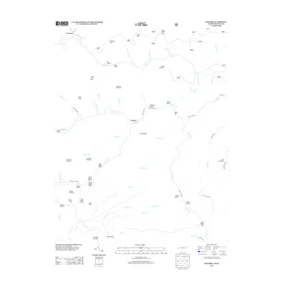
Historical Maps of Scott County Through Time
49 maps found

1935 Mages
Scott County, TN

1935 Moggasin
Scott County, TN

1936 Hogbell Gap
Scott County, TN
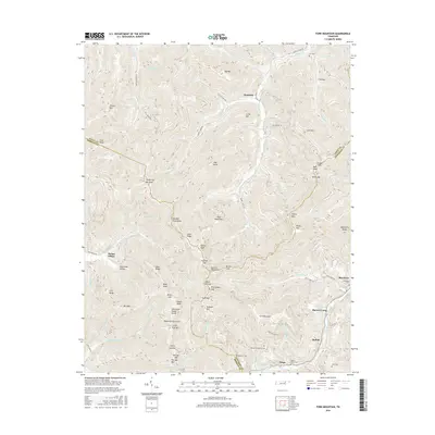
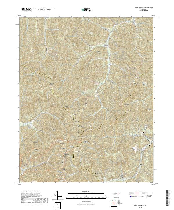
1946 Fork Mountain
Scott County, TN
1952 Fork Mountain
Scott County, TN
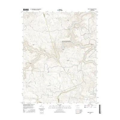
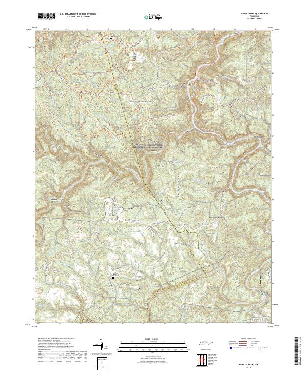
1952 Honey Creek
Scott County, TN
1952 Oneida South
Scott County, TN
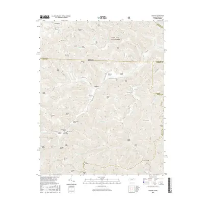
1953 Ketchen
Scott County, TN
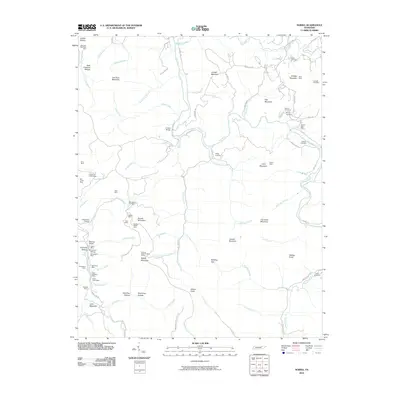
1954 Norma
Scott County, TN
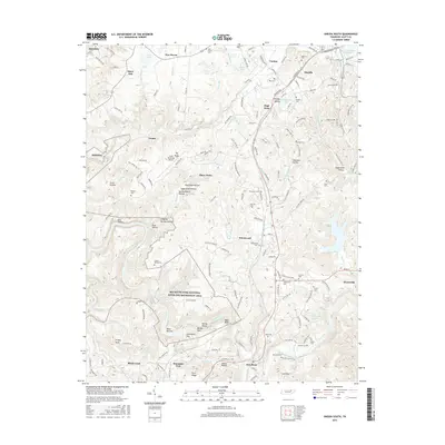
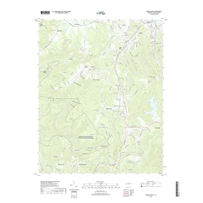
1955 Barthell SW
Scott County, TN
1955 Oneida North
Scott County, TN
1980 Ketchen
Scott County, TN
2000 Barthell SW
Scott County, TN
2000 Honey Creek
Scott County, TN
2010 Barthell SW
Scott County, TN
2010 Fork Mountain
Scott County, TN
2010 Honey Creek
Scott County, TN
2010 Ketchen
Scott County, TN
2010 Norma
Scott County, TN
2010 Oneida South
Scott County, TN
2011 Oneida North
Scott County, TN
2013 Barthell SW
Scott County, TN
2013 Fork Mountain
Scott County, TN
2013 Honey Creek
Scott County, TN
2013 Ketchen
Scott County, TN
2013 Norma
Scott County, TN
2013 Oneida North
Scott County, TN
2013 Oneida South
Scott County, TN
2016 Barthell SW
Scott County, TN
2016 Fork Mountain
Scott County, TN
2016 Honey Creek
Scott County, TN
2016 Ketchen
Scott County, TN
2016 Norma
Scott County, TN
2016 Oneida North
Scott County, TN
2016 Oneida South
Scott County, TN
2019 Barthell SW
Scott County, TN
2019 Fork Mountain
Scott County, TN
2019 Honey Creek
Scott County, TN
2019 Ketchen
Scott County, TN
2019 Norma
Scott County, TN
2019 Oneida North
Scott County, TN
2019 Oneida South
Scott County, TN
2022 Barthell SW
Scott County, TN
2022 Fork Mountain
Scott County, TN
2022 Honey Creek
Scott County, TN
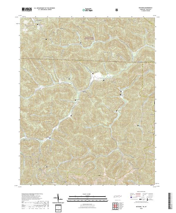
2022 Ketchen
Scott County, TN
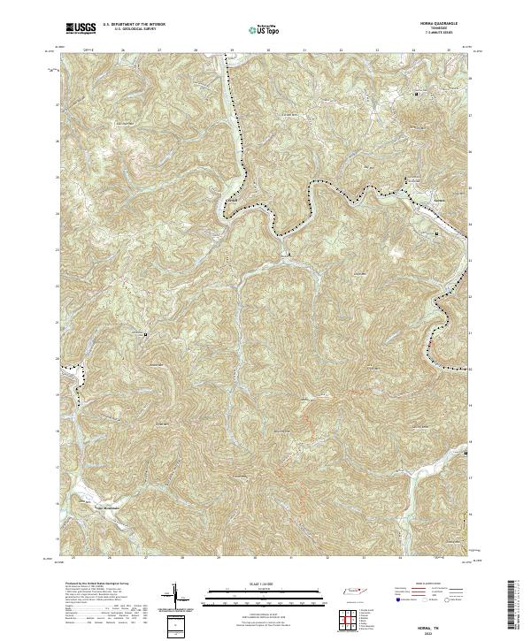
2022 Norma
Scott County, TN
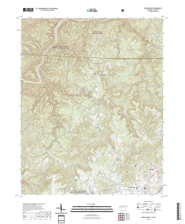
2022 Oneida North
Scott County, TN
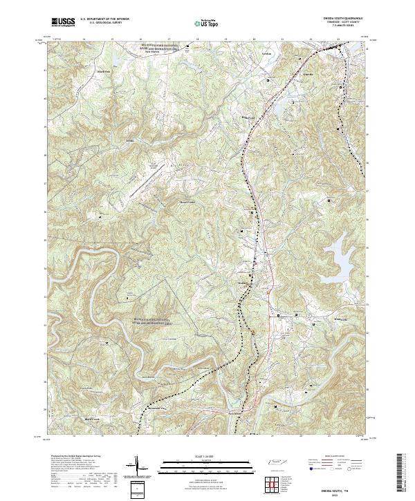
2022 Oneida South
Scott County, TN