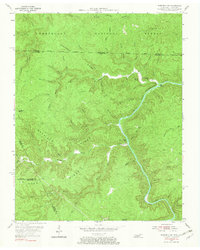
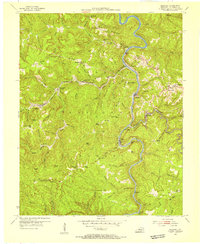
1955 Map of Barthell SW
USGS Topo · Published 1967About this map
Cumberland National Forest dominates this mid-century survey, which reveals a landscape defined by the deep incisions of the South Fork Cumberland River and its numerous tributaries. Settled pockets are marked by local institutions like the No Business Sch and Station Camp Sch, while family history is etched into the terrain at Terry Cem and Slavens Cem. The complex topography of Chestnut Ridge and Hatfield Ridge historically isolated these small valley communities, where the presence of Oil Wells near Burkes Branch points to the region's extraction history. This area at the Tennessee-Kentucky border shows the early boundaries of the Scott State Forest, illustrating the transition from remote homesteads and subsistence sites to state-managed timber and conservation lands.
Find a feature on this map
66 named features on this map. Tap any name to fly to it.
Don’t see what you’re looking for? This feature index may not catch every label — zoom into the map to look around manually.
Map Details
Editions of this 1955 Barthell SW Map
4 editions found
Other maps of this area

1895 · Wartburg
USGS Topo · 1:125,000

1896 · Wartburg
USGS Topo · 1:125,000

1934 · Barthell
USGS Topo · 1:62,500

1934 · Pall Mall
USGS Topo · 1:62,500

1952 · Helenwood
USGS Topo · 1:24,000

1952 · Honey Creek
USGS Topo · 1:24,000

1954 · Stockton
USGS Topo · 1:24,000

1954 · Parmleysville
USGS Topo · 1:24,000
1954 · Barthell
USGS Topo · 1:24,000

1954 · Bell Farm
USGS Topo · 1:24,000