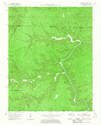
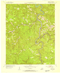
1955 Map of Barthell SW
USGS Topo · Published 1967About this map
The South Fork Cumberland River carves a deep path through the northern reaches of the Cumberland National Forest, defining the rugged borderlands of Tennessee and Kentucky. This mid-century survey reveals a landscape of isolated mountain communities connected by narrow ridges and winding creek beds. Genealogists can locate family landmarks such as Terry Cem and Slavens Cem, situated near high points like Hatfield Ridge and Chestnut Ridge. The map documents the rural infrastructure of the era, including No Business Sch and Station Camp Sch, which served families along the No Business Creek and Station Camp Creek drainages. Evidence of resource extraction is visible through scattered Oil Wells, while notable terrain features like Big Island and Burke Knob anchor the topography.
Find a feature on this map
69 named features on this map. Tap any name to fly to it.
Don’t see what you’re looking for? This feature index may not catch every label — zoom into the map to look around manually.
Map Details
Editions of this 1955 Barthell SW Map
4 editions found
Other maps of this area

1895 · Wartburg
USGS Topo · 1:125,000

1896 · Wartburg
USGS Topo · 1:125,000

1934 · Barthell
USGS Topo · 1:62,500

1934 · Pall Mall
USGS Topo · 1:62,500

1952 · Helenwood
USGS Topo · 1:24,000

1952 · Honey Creek
USGS Topo · 1:24,000

1954 · Stockton
USGS Topo · 1:24,000

1954 · Parmleysville
USGS Topo · 1:24,000
1954 · Barthell
USGS Topo · 1:24,000

1954 · Bell Farm
USGS Topo · 1:24,000