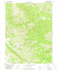
1958 Map of Bartlett Mtn
USGS Topo · Published 1980About this map
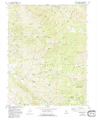
Bartlett Mountain dominates this portion of the Mendocino National Forest in Lake County, where steep ridges and deep canyons define the landscape. The map shows a network of remote outposts and clearings, such as Crabtree Lodge, Wild Bill Place, and Rose Place, which reflect the early forestry and grazing history of the area. Significant fire observation infrastructure is noted at High Glade Lookout 4840, perched above Middle Creek.
Find a feature on this map
53 named features on this map. Tap any name to fly to it.
Don’t see what you’re looking for? This feature index may not catch every label — zoom into the map to look around manually.
Map Details
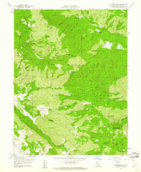
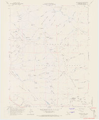
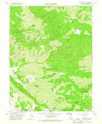
Editions of this 1958 Bartlett Mtn Map
5 editions found
Other maps of this area

1922 · Hullville
USGS Topo · 1:62,500

1924 · Bartlett Springs
USGS Topo · 1:62,500

1938 · Lakeport
USGS Topo · 1:62,500

1942 · Bartlett Springs
USGS Topo · 1:62,500

1944 · Bartlett Springs
USGS Topo · 1:62,500

1951 · Lake Pillsbury
USGS Topo · 1:62,500

1951 · Lakeport
USGS Topo · 1:62,500

1951 · Stonyford
USGS Topo · 1:62,500

1957 · Ukiah
USGS Topo · 1:250,000

1958 · Clearlake Oaks
USGS Topo · 1:24,000