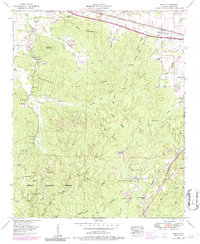
1953 Map of Barton
USGS Topo · Published 1986About this map
Mills Ridge and Sand Mountain dominate this mid-century survey of Colbert County, Alabama, where industrial development and agricultural heritage converge. The corridor along the Lee Highway and the Southern railroad tracks shows a landscape in transition, featuring a Barton Compressor Station, several microwave towers, and a drive-in theater near the Cherokee city limits. To the south, the terrain becomes more dissected by creek hollows, housing the Thomas Wildlife Refuge and the Colbert Wildlife Management Area. Genealogists will find several burial grounds including Watkins Cem and Mountain Mills Cem, while local historians can trace the settlement at Newsom Springs, which features both old and new cemetery sites. The topography is defined by numerous family-named ridges and hollows like Burcham Hollow and Fielder Ridge, illustrating the long-established rural settlement patterns of the region.
Find a feature on this map
63 named features on this map. Tap any name to fly to it.
Don’t see what you’re looking for? This feature index may not catch every label — zoom into the map to look around manually.
Map Details
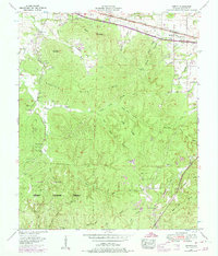
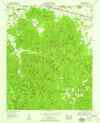
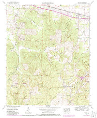
Editions of this 1953 Barton Map
4 editions found
Other maps of this area

1911 · Iuka
USGS Topo · 1:48,000

1914 · Iuka
USGS Topo · 1:62,500

1924 · Gravelly Springs
USGS Topo · 1:48,000

1925 · Barton
USGS Topo · 1:62,500

1926 · Barton
USGS Topo · 1:48,000

1926 · Gravelly Springs
USGS Topo · 1:62,500

1929 · Barton
USGS Topo · 1:62,500

1935 · Cherokee
USGS Topo · 1:24,000

1935 · Pleasant Site
USGS Topo · 1:24,000

1936 · Margerum
USGS Topo · 1:24,000