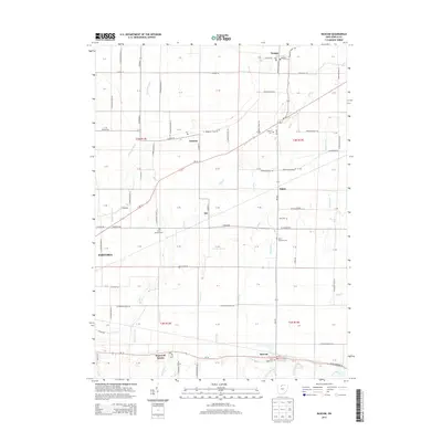
2013 Map of Bascom
USGS Topo · Published 2013About this map
Kansas and Bascom anchor this topographic survey of Seneca County, which documents a landscape defined by an extensive network of drainage ditches and creeks. This agricultural region is meticulously divided by a grid of township and county roads, reflecting the legacy of the Public Land Survey System as shown by the prominent section boundaries of T3N and T2N. Small rural crossroads like Amsden, Iler, and Angus appear alongside several established burial grounds including Zion Lutheran Cem and Saint Andrews Cem, which serve as vital markers for local family history research. The eastern edge of Fostoria enters the frame in the west, while the hydrological pattern of the area is illustrated by numerous watercourses such as Wolf Cr, Muskellunge Cr, and Sherger Ditch, which manage the runoff across this level Ohio terrain.
Find a feature on this map
102 named features on this map. Tap any name to fly to it.
Don’t see what you’re looking for? This feature index may not catch every label — zoom into the map to look around manually.
Map Details
Editions of this 2013 Bascom Map
This is the sole edition of this map. No revisions or reprints were ever made.
Other maps of this area

1901 · Fostoria
USGS Topo · 1:62,500

1901 · Fremont
USGS Topo · 1:62,500

1901 · Elmore
USGS Topo · 1:62,500

1903 · Fremont
USGS Topo · 1:62,500

1903 · Fostoria
USGS Topo · 1:62,500

1903 · Elmore
USGS Topo · 1:62,500

1906 · Tiffin
USGS Topo · 1:62,500

1956 · Toledo
USGS Topo · 1:250,000

1958 · Fremont West
USGS Topo · 1:24,000
1958 · Bradner
USGS Topo · 1:24,000