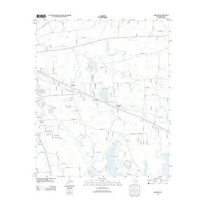
2012 Map of Bascom
USGS Topo · Published 2012About this map
Bascom and Chapel Hill anchor this rural landscape southeast of Tyler in the early 2010s, characterized by a series of small communities and family-named cemeteries. The topography is defined by the tributaries of Harris Cr and Gilley Cr, which feed into the extensive waters of Lake Tyler at the southern edge. The map captures a mix of public and private land use, from the Texas State Quail Farm to the recreational waters of Arp Club Lake and Pleasant Acres Lake. Genealogists will find several burial grounds documented across the countryside, including Belcher Cem and Saint Viola Cem. The area shows a transition from agricultural roots to modern suburban expansion, with localized features like Headache Springs and Dogwood Hollow Lake punctuating the wooded terrain between Elberta and New Chapel Hill.
Find a feature on this map
152 named features on this map. Tap any name to fly to it.
Don’t see what you’re looking for? This feature index may not catch every label — zoom into the map to look around manually.
Map Details
Editions of this 2012 Bascom Map
This is the sole edition of this map. No revisions or reprints were ever made.
Other maps of this area

1937 · Troupe
USGS Topo · 1:48,000

1938 · Winona
USGS Topo · 1:48,000

1943 · Troup
USGS Topo · 1:62,500

1943 · Winona
USGS Topo · 1:62,500

1946 · Bullard
USGS Topo · 1:62,500

1948 · Bullard
USGS Topo · 1:62,500

1948 · Tyler
USGS Topo · 1:62,500

1949 · Tyler
USGS Topo · 1:62,500

1956 · Tyler
USGS Topo · 1:250,000

1966 · Hope Pond
USGS Topo · 1:24,000