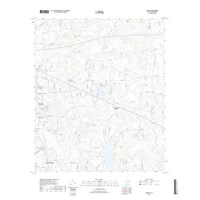
2019 Map of Bascom
USGS Topo · Published 2019About this map
Bascom and New Chapel Hill anchor this rural Smith County landscape, where the east Texas terrain transitions from the edges of Tyler toward the expansive waters of Lake Tyler. The map documents a network of small family cemeteries and natural springs that define the local genealogy, including Saint Viola Cem, Belcher Cem, and the uniquely named Headache Springs.
Find a feature on this map
137 named features on this map. Tap any name to fly to it.
Don’t see what you’re looking for? This feature index may not catch every label — zoom into the map to look around manually.
Map Details
Editions of this 2019 Bascom Map
This is the sole edition of this map. No revisions or reprints were ever made.
Other maps of this area

1937 · Troupe
USGS Topo · 1:48,000

1938 · Winona
USGS Topo · 1:48,000

1943 · Troup
USGS Topo · 1:62,500

1943 · Winona
USGS Topo · 1:62,500

1946 · Bullard
USGS Topo · 1:62,500

1948 · Bullard
USGS Topo · 1:62,500

1948 · Tyler
USGS Topo · 1:62,500

1949 · Tyler
USGS Topo · 1:62,500

1956 · Tyler
USGS Topo · 1:250,000

1966 · Hope Pond
USGS Topo · 1:24,000