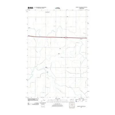
2011 Map of Bassett Junction
USGS Topo · Published 2011About this map
Bassett Junction serves as a central point in this part of Grant County, where the desert landscape is defined by a rigid grid of rural roads and the dramatic carving of Weber Coulee. The map shows a transition from earlier settlement patterns to modern industrial and agricultural infrastructure, evidenced by the Carnation Waste Pond Number Five Dam located in the northern reaches near Laing. Small rail or road-aligned communities like Atwood, Tiflis, Barham, and Ritell are scattered across the quadrangle, illustrating the spread of local commerce and residency along the regional transport corridors. The extensive network of numbered roads, such as Road 1 SE and Baseline S SE, highlights the systematic development of the Washington interior as it appeared in the early 21st century.
Find a feature on this map
40 named features on this map. Tap any name to fly to it.
Don’t see what you’re looking for? This feature index may not catch every label — zoom into the map to look around manually.
Map Details
Editions of this 2011 Bassett Junction Map
This is the sole edition of this map. No revisions or reprints were ever made.
Other maps of this area

1916 · Connell
USGS Topo · 1:125,000

1918 · Connell
USGS Topo · 1:125,000

1923 · Wheeler
USGS Topo · 1:62,500

1924 · Othello
USGS Topo · 1:62,500

1925 · Wheeler
USGS Topo · 1:62,500

1925 · Schrag
USGS Topo · 1:62,500

1953 · Walla Walla
USGS Topo · 1:250,000

1953 · Ritzville
USGS Topo · 1:250,000

1954 · Warden
USGS Topo · 1:24,000

1954 · Soda Lake
USGS Topo · 1:24,000