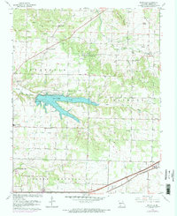
1961 Map of Bassville
USGS Topo · Published 1971About this map
Fellows Lake dominates the central landscape of this Greene County quadrangle, a significant water feature that collects the flows of the Little Sac River. The map captures a transition from rural homesteads and family cemeteries to increasing suburban development near the southern edge. Local history is anchored by a network of community landmarks, including Peace Chapel, Elm Spring Ch, and Potter Ch, while the St Louis San Francisco railroad cuts across the southeastern corner near Strafford. The map details the topography between the Little Pomme de Terre River and Pearson Creek, illustrating the drainage patterns that defined early settlement in Franklin, Jackson, and North Campbell townships. Educational and community centers like Mt Comfort Sch and Pleasant View Sch serve as important points of interest for genealogists tracing mid-century rural Missouri life.
Find a feature on this map
32 named features on this map. Tap any name to fly to it.
Don’t see what you’re looking for? This feature index may not catch every label — zoom into the map to look around manually.
Map Details
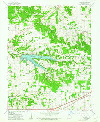
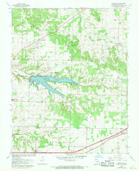
Editions of this 1961 Bassville Map
3 editions found
Other maps of this area

1884 · Springfield
USGS Topo · 1:125,000

1886 · Springfield
USGS Topo · 1:125,000

1935 · Springfield
USGS Topo · 1:24,000

1937 · Galloway
USGS Topo · 1:24,000

1937 · Ozark
USGS Topo · 1:48,000

1943 · Ozark
USGS Topo · 1:62,500

1945 · Ozark
USGS Topo · 1:62,500

1946 · Bassville
USGS Topo · 1:24,000

1947 · Strafford
USGS Topo · 1:62,500

1948 · Bassville
USGS Topo · 1:24,000